Water gate
The Narrows closes above 150 CFS or during a Flash Flood Warning. NPS also advises against entering if the forecast includes a chance of rain.
Southern Utah
Saturday · Aug 8
The Springdale detour is up for discussion. It adds a couple of hours but takes the gear pickup off Sunday morning. If we would rather skip it we can rent in Springdale on the way in, or drop the Narrows plan. Utah is one hour ahead of Las Vegas.
Rideshare over for the 8:00 AM pickup. Photograph the car, check the fuel, and see what the back actually takes.
Breakfast our call.
9:30 AM is the hard out. Drive time to Springdale is about 2 hours 40 minutes, plus the one-hour clock change.
Keep it quick and close to Zion Guru.
Zion Guru, 1013 Zion Park Boulevard. The warm-weather package includes canyon shoes, neoprene socks, and a wooden pole. Reserve before leaving Vegas.
Sunday breakfast, trail lunches, salty snacks, electrolytes, water, and a waste bag each.
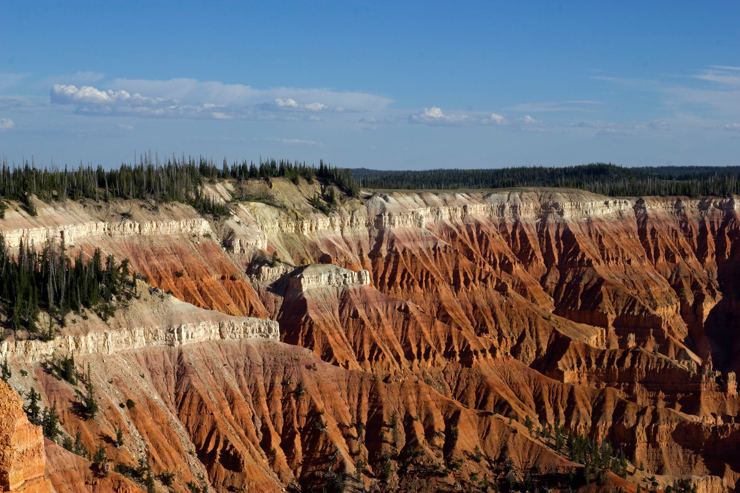
If skies are clean, Cedar Breaks overlooks around 6:45–8:00 PM. Otherwise pack and rest.
Offline maps and screenshots down, breakfast staged, alarms set for 5:00 AM.
Sunday · Aug 9 · Plan A
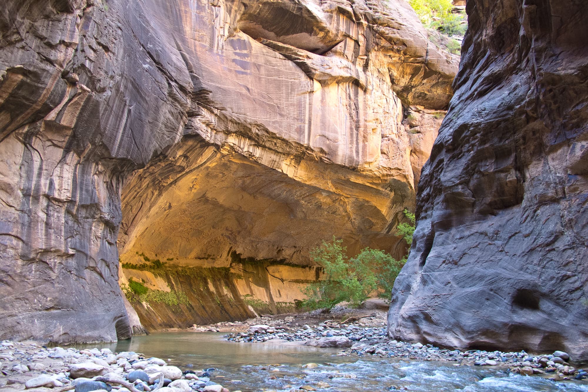
Orderville Canyon by 11:00 AM is a successful hike. Another 20–40 minutes into Wall Street from there, then turn around. Big Spring is out of range today.
Repeat NPS, NWS, and USGS checks. Leave Brian Head at 5:30 AM with breakfast in hand.
Restroom, water, shuttle queue. If the lot is full there is signed parking in Springdale.
The first bus leaves at 7:00 AM; the ride to Stop 9 takes about 45 minutes. Use the trailhead restroom and water again.
The paved approach is one mile.
Orderville enters about two river miles up. Poke a couple of hundred yards into it, then spend what is left of the outbound time in the main canyon.
The goal is the narrowest part of the Narrows before noon. Turn earlier if people are cold or tired, or the sky turns.
Dry clothes and towels are in the car. Gear back in Springdale, a proper late lunch, then Brian Head around 5:00 PM.
Open evening for recovery. Showers, maybe a home cooked dinner, nothing scheduled.
The fallback ladder
A river closure and a storm closure need different backups. Pick the one that actually happened.
Two checks: Saturday night, then again before leaving Brian Head. Pack for a dry day either way.
The Narrows closes above 150 CFS or during a Flash Flood Warning. NPS also advises against entering if the forecast includes a chance of rain.
“Possible,” “Probable,” or “Expected” flash-flood potential means pick another plan. Thunder rules out Scout Lookout and Cedar Breaks too.
As of Aug 4, NWS had Sunday sunny and near 107°F. Good for Plan A, but the Saturday-night and morning checks are the ones that count.
If Plan B becomes Scout Lookout, start with the first shuttle. Its 1,187-foot climb is exposed and much hotter than walking in the river.
Carry the same base kit
Pack the car for Plan A and each day bag for a dry trail, so switching does not mean driving back to Brian Head.
Two litres of water each, electrolytes, food that keeps, two bars, one salty snack, sunscreen, and a warm synthetic layer sealed dry.
Restrooms and water at Temple of Sinawava, none on the hike. A waste bag each, paper, sanitiser, and a bag for rubbish.
Zion Guru states that returned, unused gear can receive an 80% refund after a 20% outfitting fee. A Guru-triggered safety cancellation receives a full refund if it cannot be rescheduled.
Rental policyDownloads and protocol
Most people cannot connect to a mobile network in Zion Canyon. GPS may still work offline, but canyon walls can make the location drift or freeze.
Offline maps on at least two phones, plus screenshots of the shuttle map, the hotel, and the gear return.
Regroup at the bends and at Orderville. Nobody walks back alone. Satellite SOS may not reach inside Wall Street.
Someone outside the group gets the plate, the parking spot, the route, and when we expect to be back. 9:00 PM is the call-it time.
The river is the route. Identify Orderville by the tributary confluence rather than a phone mileage counter, then turn downstream to return.
Official park app. Download the Zion park content for offline use, which includes the shuttle stops and trail descriptions.
In Google Maps or Apple Maps, save an offline area covering Brian Head, Cedar City, Springdale, and Zion Canyon. Driving directions work without signal once saved.
USGS gauge 09405500 at Springdale. The Narrows closes at 150 CFS. Screenshot the morning reading before losing signal.
Nearest NWS point forecast to Brian Head. Check the afternoon thunderstorm probability the night before.
Live + official checks